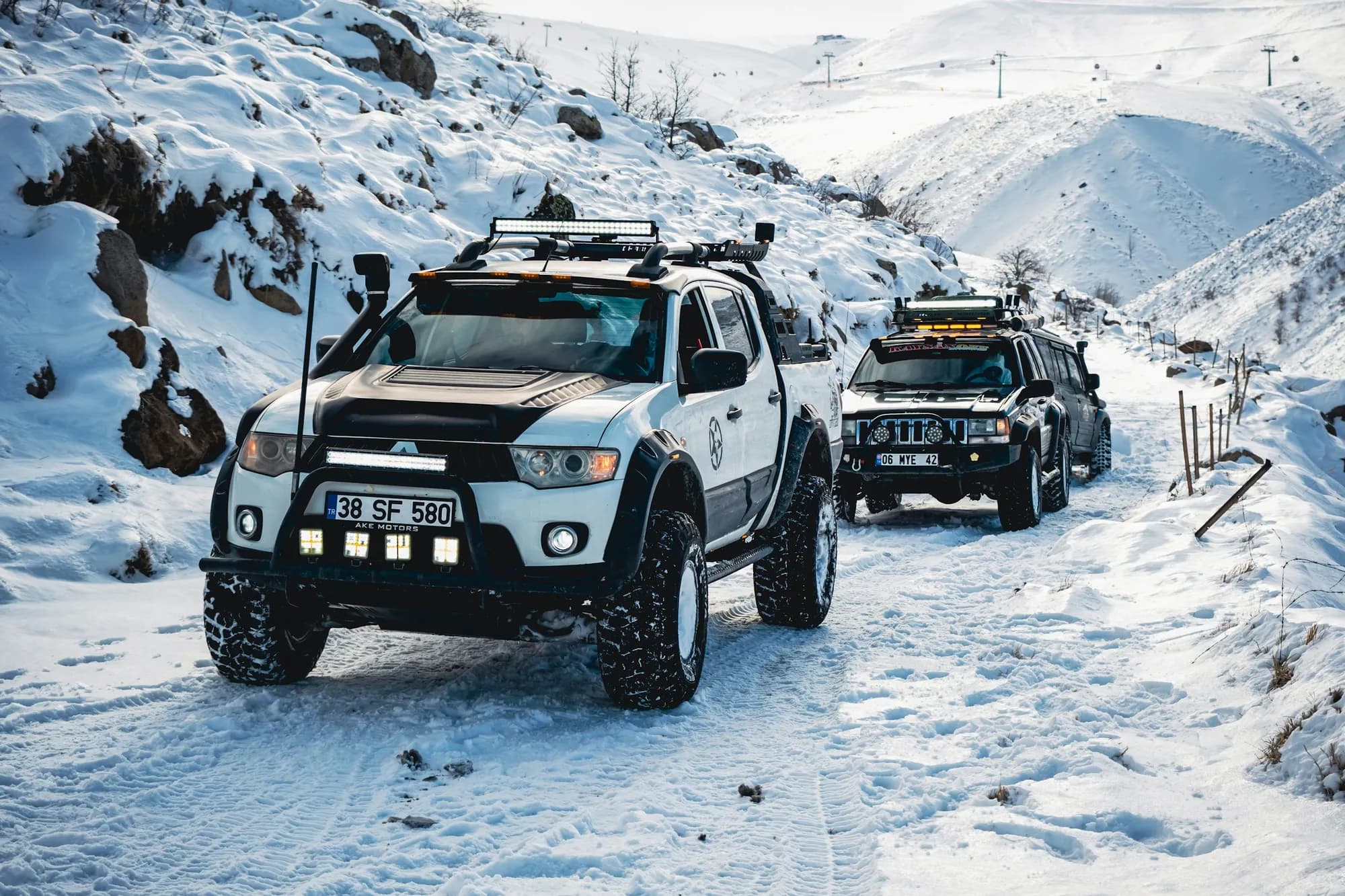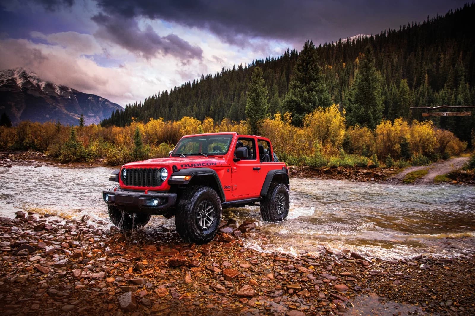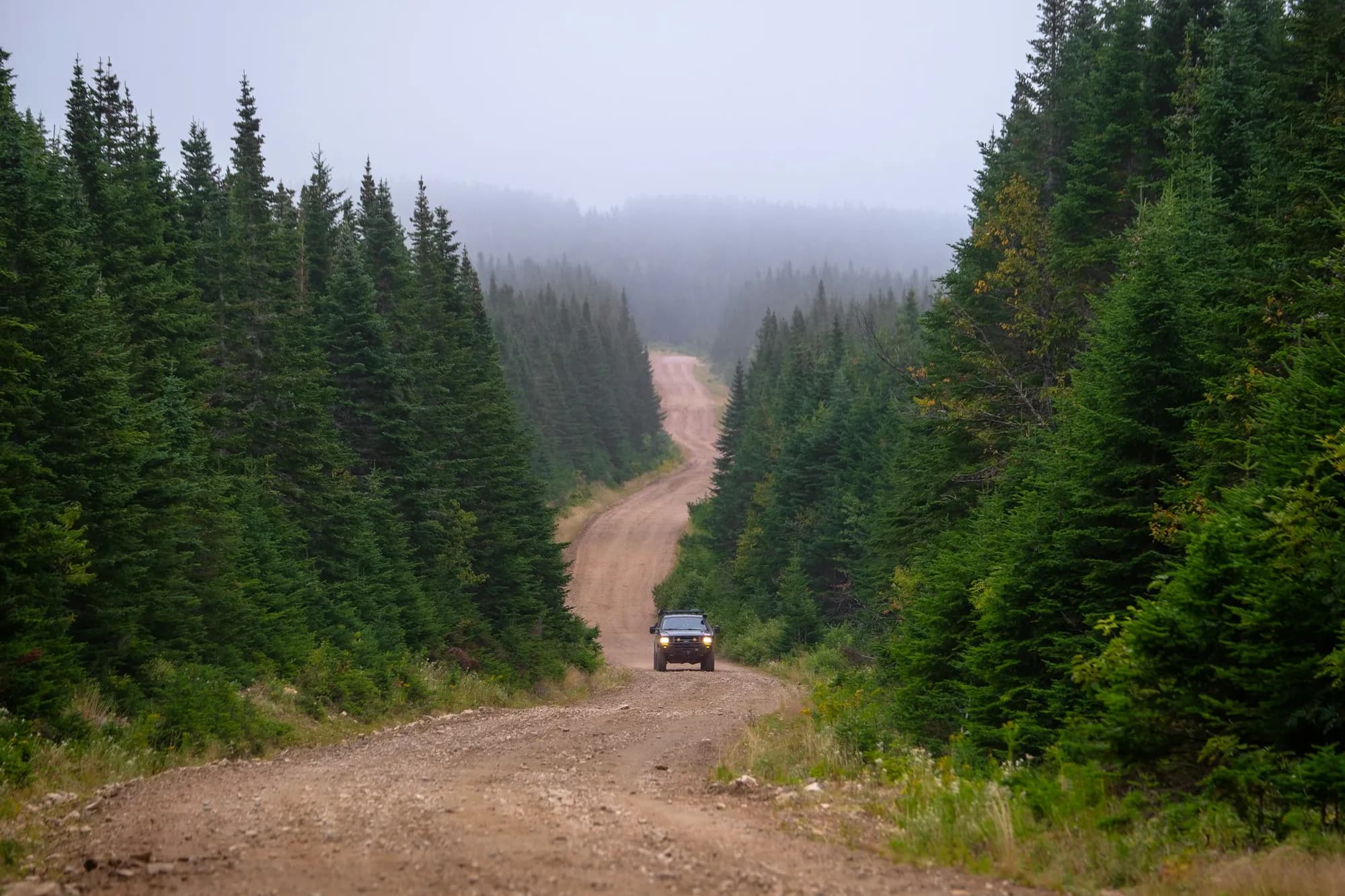
Photo: Chris Cordes / Unsplash. An SUV on a forest road in Oregon.
A two-track that appears in a mapping app, a friend's saved track or an old guidebook isn't necessarily open to your truck. On national forest land, the document that decides is plain, black and white and easy to overlook: the Motor Vehicle Use Map.
Getting this right is how routes stay open to the people who use them responsibly. It also keeps you on the right side of a federal regulation that applies whether or not anyone posted a sign.
The map is the rule
The Forest Service describes the MVUM as a black-and-white map of legal motorized travel on each national forest, required by the 2005 Travel Management Rule. Its key line is blunt: routes not shown on the MVUM are not open to public motor vehicle travel. Designated routes are not always signed on the ground, so the map is the reference that counts, and the agency says officers can issue a notice of violation once a forest's map is publicly available. Forest Service MVUM FAQ
The regulation behind it prohibits possessing or operating a motor vehicle on National Forest System lands other than in accordance with the designations shown on a motor vehicle use map. Over-snow vehicles, emergency use and specifically authorized use are among the listed exemptions. 36 CFR 261.13
How to read one
Designations are made by vehicle class. The Forest Service lists roads open only to highway-legal vehicles, roads open to all vehicles, trails limited to vehicles 50 inches wide or less, trails open to full-size vehicles, and motorcycle-only single track. Forest Service MVUM FAQ A full-size truck on a trail designated for 50-inch vehicles is outside its designation even if the tires fit between the trees. An unregistered rig may have a legal trail at the end of a road it is not allowed to drive.
Seasons matter, too. Some routes or areas are open only during certain times of year, to reduce wildlife disturbance, keep visitors away from unsafe conditions or limit damage to soil, water and vegetation. Forest Service MVUM FAQ Check the seasonal allowances shown for each route on your plan instead of assuming that a road open in July is open in late fall.
The map has no topographic detail, so the Forest Service suggests pairing it with a visitor map or another detailed map. It also adds a caution worth repeating at every trailhead: "Legal does not mean prudent." A route open to all vehicles can still be a poor choice for a particular vehicle in particular conditions. Forest Service MVUM FAQ
Each forest is required to post its MVUM online. Forest Service MVUM FAQ The Gifford Pinchot National Forest, for example, offers its map as a free PDF, as a GPS-enabled version for the Avenza Maps app and on paper at district offices and local outdoor stores. Its page also notes that, within 150 feet of many mapped roads, visitors may drive existing routes to reach dispersed campsites. Gifford Pinchot MVUM page Allowances like that are set forest by forest, so read the legend for the forest you're actually visiting.
BLM land uses a different vocabulary
Bureau of Land Management ground runs under its own regulations, which sort land into three classes for off-road vehicles. Open areas permit vehicle use anywhere, subject to the operating rules. Limited areas can restrict use by season, vehicle type or number of vehicles, or confine travel to existing or designated roads and trails. Closed areas prohibit off-road vehicle use. 43 CFR 8340.0-5
On the ground, BLM tells visitors to obey posted signs, to check state law before riding public-land routes and to meet state requirements such as vehicle registration where they apply. BLM off-highway vehicle program
The habits that keep routes open
Tread Lightly!'s T.R.E.A.D. principles cover the behavior that matters most on shared routes. Stay on designated roads, trails and areas. Go over obstacles rather than around them, so the trail doesn't widen. Cross streams only at designated fords, and avoid wet, muddy trails when you can. Leave gates as you found them, and yield to people passing you or traveling uphill. Keep away from meadows, lakeshores and wetlands, leave historical, archaeological and paleontological sites undisturbed, and avoid spreading invasive species. Tread Lightly! principles
None of that is complicated, and all of it is visible to the next person on the trail.
Before the next trip, download the MVUM for the forest you're visiting, note the vehicle class and season for every route on the plan and save the file for offline use. The official map is free. A line in an app is only a suggestion until it matches.
General guidance on federal land rules, not legal advice. Designations vary by forest and field office, and state OHV laws also apply.